The Slopes of Hell near Kamshet is a well know spot for off-roader be it a motorcycle or 4X4. Just an hour drive from Pune will take you to this place. Not sure about how this place was discovered, but the actual place hosts a relay tower on top of the hill. While scanning the areas around Kamshet on google maps, I stumbled accross this place. On further reading about on various sites, found out that it was quite a popular spot for off-roading.
One fine Saturday my friend Sujay and myself decided to visit this place. The place is about 35 kms from Wakad. Once you reach Kamshet town, take the left turn towards Pawana dam. Just 2 kms ahead on this road one can spot a dirt road going on top of a hill. This is the road to slop of hell. It is quite easy to miss this road so better keep a lookout for relay tower on top of hill. Have shown the exact location in the pic below.
Also, keep a watch on the distance once you take a left from Kamshet. If you cross more than 2.5 kms than you have missed the road to Slope of Hell. Once you begin at this point, the ride uphill is quite exciting. The road is narrow and twisty, adding up to the bonus are the gravels. One wrong move could prove lethal. The place is quite isolated hence immediate help would not be available at hand incase things go wrong, so its better to go in group and enjoy this place. Once you make your way through the twist and turns of this rough road, you should reach the base to Slope Of Hell. Here it is where you can see this steep gradient. The road is paved with stone blocks and open on both ends. One can enjoy the magnificient view of the expressway from here.
This road leads to the top and quickly transforms to a much narrow muddy path with gravels. This is the path that is difficult to cover. Once you overcome it you can reach the top of the hill.
The place does stands well for it's name, indeed it was an adrenaline filled ride.
Photos:
 |
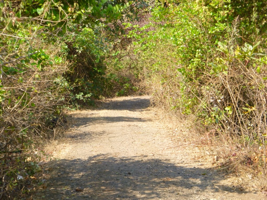
| The road going right off the main road lead to slope of hell |
 |
| The base to Slope of hell, once you climb up the dirt road |
 |
| The final climb to the top of Hill |
 |
| The steep gradient of Hell |
 |
Riding uphill
|
 |
| View of Expressway |
 |
| Sujay posing with his bike |
 |
| View from the top |
 |
| Mid Way to top |
 |
| Gravel road |
Location Map:
View Larger Map


i am thinking to visit this place. had searched it on google maps, but the idea you gave(2.5 kms) is one which would help me finding the trail. thanks mate.
ReplyDelete-Rizwan Shaikh
Thanks! Also, the first pic is the one showing you the actual trail from main road.
Delete